
Precision Measured. Projects Delivered.
High-accuracy, legally defensible land surveying in MN, CO, ID, and MI. Powered by advanced GPS and drone technology to keep your project on schedule.
Don't Let Bad Surveys Stop Construction.
Slow turnarounds and unlicensed work cost contractors thousands per day. 7 Point Service LLC delivers stamped, approved, construction-ready surveys in just 5–7 days.
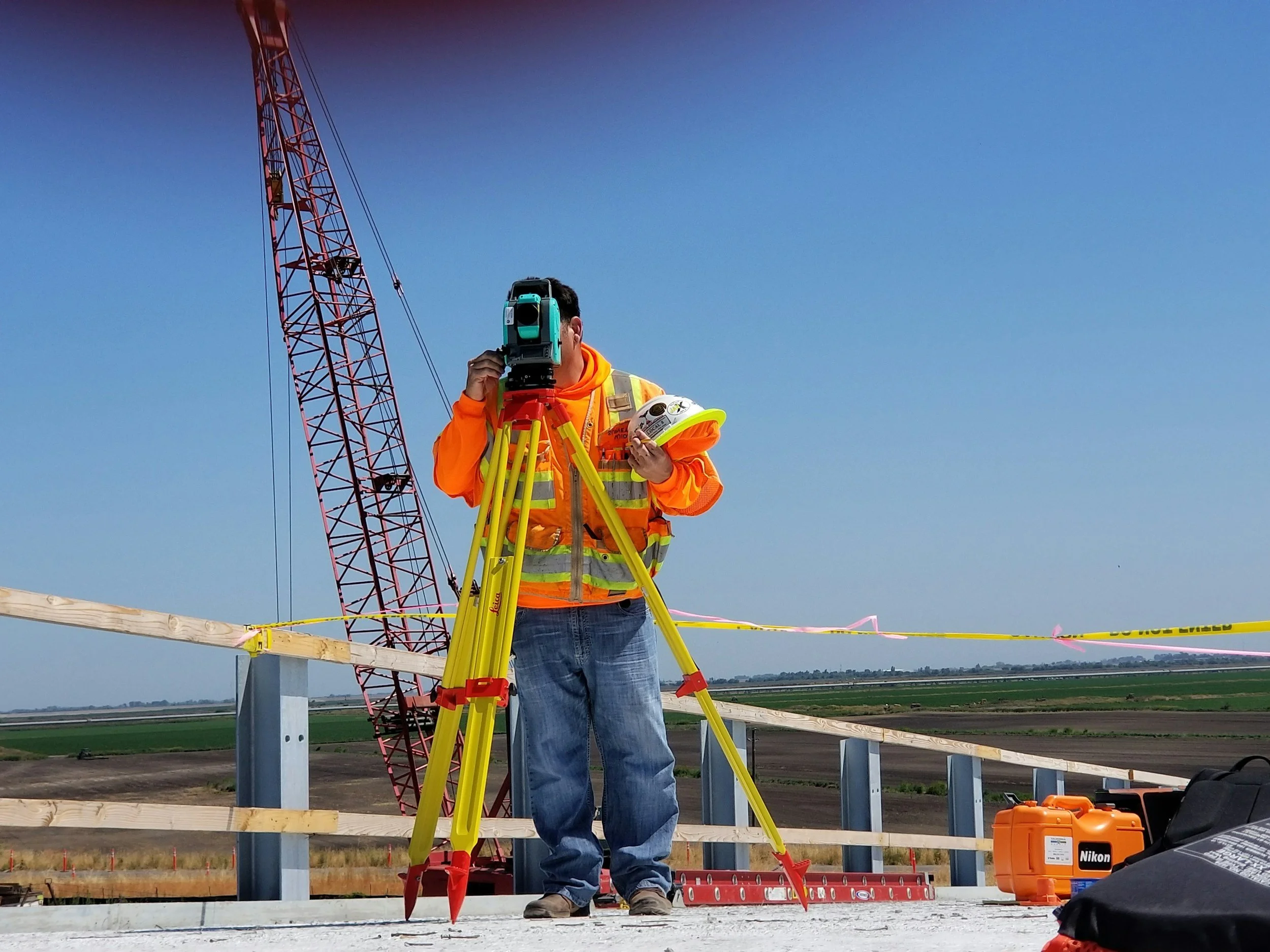
The 7 Points of Service
Boundary Surveys
Property lines, fences, and dispute resolution.
Construction Staking
Foundation, road, and utility layout.
ALTA/NSPS Surveys
Comprehensive mapping for commercial real estate closings.
GPS & GIS Mapping
High-precision GNSS control data.
AutoCAD Drawings
Civil 3D, site plans, and as-builts ready for engineers.
Topographic Surveys
Exact contours, elevations, and drainage data.
Drone Surveying
Aerial mapping and volumetric analysis (stockpiles).
Why Choose 7 Point Service?
Degree-Qualified PLS
Live project experience, not just a middleman.
Multi-State Licensed
Fully licensed to stamp and sign in Minnesota, Colorado, Idaho, and Michigan.
Advanced Tech Stack
Leica/Trimble GNSS, DJI RTK Drones, and AutoCAD Civil 3D under one roof.

Ready to break ground?
Contact 7 Point Service LLC for accurate, fast, and legal surveys.